Trail number
Not applicable
Trail length
11 kilometres
Elevation variance
120 metres
Trail type
Fire trail
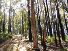
Trail surface
Coarse gravel, rocks and rock outcrops
Weather affected
Prone to be muddy after heavy rain
Trail condition sources
Nil
Trail features
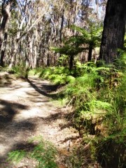
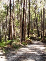
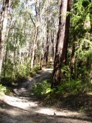
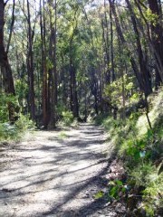
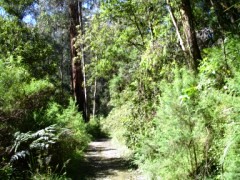
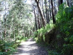
Straightforward trail following old rail line.
Trail obstacles
None

Trail rating
Easy
Rating basis
Estimated
Night riding
Yes
Family Friendly
Younger MTBers could readily ride this course.
Click Image For Trail Map
No GPX download
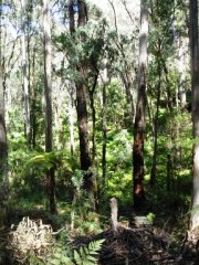
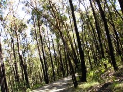
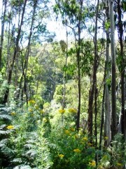
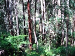
The Tyers Rail Trail is a part of a number of rail trails across Australia organised and maintained by Rail Trails Australia. A lot of these rail trials are well known but located out in open land area. There are a number however hidden in beautiful bush settings and this is one of them. Being a former government tramway, the trail is largely the same width as a tramway for most of the trail.
The trail elevation at the Walhalla Road trailhead drops from 320 to 260 metres in altitude in 2 kilometres. After this it rises back up to 380 metres elevation over 9 kilometres to meet the Telbit Road trailhead. The trail is not technically challenging - just a good cross country ride. This ride passes through the southern section of the Erica MTB Park and is shown on the bike park map as well.
If you wish to camp in the area, the Caringal Scout camp is a fantastic place to stop and is located alongside the Tyers River. It has basic toilet and shower facilities and sites are less than $10 a night. Call the camp ranger for a site. Please respect other campers when using the area.
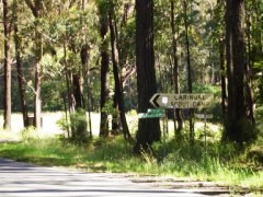
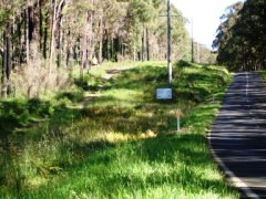
The easiest way to access the trail is from the trailhead on the Walhalla Road. This is located just north of Telbit Road (look for the Caringal Scout Camp sign) past the houses on the western side of the road.
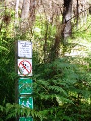
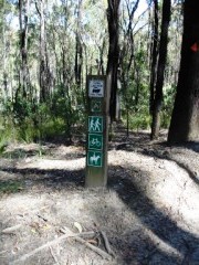
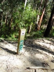
If you want to come in from the other trailhead on Telbit Road, follow Telbit Road from Walhalla Road for approximately 4 km. There is a trail head sign on the right hand side of the road so keep an eye out for it as it's not overly large (refer last photo). If you get to Finns Track on the right, you've gone a bit too far.
 |
 |
 |
|---|---|---|
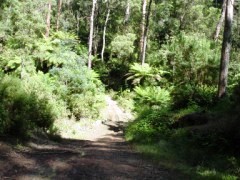
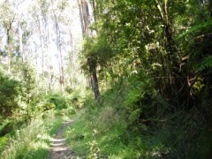
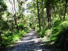
Heading north from on Walhalla Road, pass the Caringal Scout Camp sign in left photo and park on left at trailhead sign. |
||
 |
 |
 |
|---|
 |
 |
 |
|---|---|---|
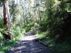
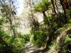
Intersection with Junction Track - head left into the 4X area. |
||
 |
 |
 |
|---|
 |
 |
 |
|---|
 |
 |
 |
|---|---|---|
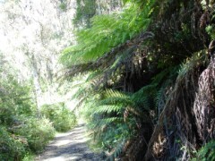
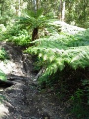
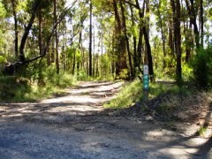
The second photo above shows a typical four wheel drive track heading off from the rail trail providing further scope to explore. |
||
 |
 |
 |
|---|
 |
 |
 |
|---|
 |
 |
|---|---|
Coming in to end of trail |
|
Here's a video from MumsWobblings Channel which gives a good idea of the country you will ride through.
 |
Parking is available at the side of the Walhalla Road at the trailhead (located just north of the Caringal Scout Camp sign and just pass the houses). You will see the trail head sign off to the left. |
|---|---|
 |
No toilet facilities are available. |
 |
No drinking water is available. |
 |
No food or drinks are available in the immediate area. |
 |
No local information facilities are available. |